COMERAGH MOUNTAINS
Forever Wild
![]()
OVERVIEW
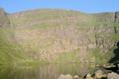
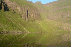
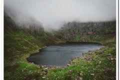
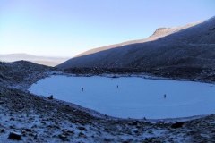
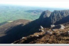
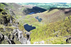
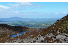
The Comeragh Mountains are a mountain range in County Waterford, Ireland, extending from the River Suir valley near Clonmel to the coastal lowland north of Stradbally. Their directional trend is northwest-southeast, and their peaks rise to elevations above 2,000 feet (600 m), with the highest point being 2,597 feet (792 m). The uplands have been heavily glaciated, resulting in a series of impressive steep-walled corries (ice-scooped basins) including Coumshingaun, a corrie with craggy sides 1,000 feet (305 m) high around a lake. The mountains are of sandstone and in effect form a single range with the neighbouring Monavullagh Mountains to the south.
UNIQUENESS
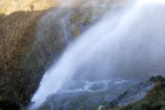
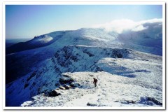
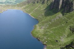
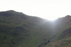
There is not a day in the year without mountaineers, hillwalkers and climbers out enjoying the Comeraghs. They are definitely one of the finest ranges in Ireland and have an unparalleled mix of mountain features. There’s the long and precipitous Knockanaffrin Ridge, the magnificent plateau, the falls in Coum Mahon, the mysterious Foill an Priosun, the tremendous variety in the coums of the Nire Valley, the surprising Coum Iarthar, the historic Crotty’s Lake, the wealth of flora and fauna and most of all, the shadowy depths and astounding glacial amphitheatre of Coumshingaun (below).
PUBLICATIONS
The Comeraghs are well covered in the Ordnance Survey of Ireland’s Discovery Series No.75 Map (Second Edition) and a number of good walking routes are described in “Best Irish Walks” (Edited by Joss Lynam and published by Gill and Macmillan). Another excellent book but unfortunately out of print is the 2nd edition of “A Guide to the Comeragh Mountains” by Declan McGrath. It deals comprehensively with how the Comeraghs were formed, what lives in them, what use is made of them and why they should be cherished and protected.
FORMATION
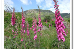
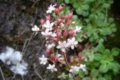
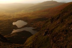
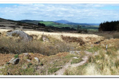
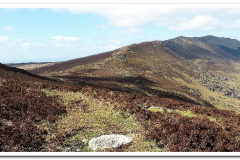
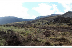
Geologically the Comeraghs have been in the making for about 500 million years and it has been a turbulent history the result of which is that they now dominate the landscape of County Waterford. They were formed when many different sediments were cemented together resulting in the range’s composition of mainly conglomerate rock in which sandstone features strongly. The ice age also left a dramatic impact carving out the numerous coums and leaving the cliffs and aretes which can be seen today. This geological history combined with the obvious impact of man have resulted in the vegetation types seen throughout the Comeraghs today. There are three species of heather in the range and the purple blanket of colour which can be seen in the autumn when it flowers is a sight to behold. At the same time of year the widespread bracken can be a challenge to walk through at times. There is very little natural woodland remaining but there are occasional clusters of rowans and holly and hawthorn trees are also to be seen in places. The Comeraghs also boast the carnivorous sundew as well as a reasonable selection of other flowering plants with a number of rarities thriving on the high cliffs. Overall there is plenty to occupy the nature specialists but fortunately it takes little knowledge to admire the rich variety of flora and the fantastic colours which it brings to the range.
GALLERY


